Header image Header image  
 
line decor
            
line decor


Information


NREPA
Northern Rockies
Ecosystem Protection Act

•Wilderness
•Corridors/Connectivity
•Recovery Areas

•Rare, Threatened, and   Endangered Species
•Wild Rivers°•»›—

2016

News: June 2016 - Senator Sheldon Whitehouse (D-Rhode Island) makes conservation history - introduces Northern Rockies Ecosystem Protection Act (NREPA) in the US Senate June 6, 2016. This ends a 25 year long blockade by (former) Senator Max Baucus (now US Ambassador to China). Original Senate co-sponsors are Senators Boxer (D-CA), Durbin (D-IL), Markey (D-MA), Menendez (D-NJ), Reid (D-NV), Schumer (NY), Shaheen (D-NH). Senator Whitehouse is known as a strong environmental advocate

For more Information about NREPA see
Alliance for the Wild Rockies

Short Description of NREPA:

To designate certain National Forest System land and certain
public land under the jurisdiction of the Secretary
of the Interior in the States of Idaho, Montana, Oregon,
Washington, and Wyoming as wilderness, wild and scenic
rivers, wildland recovery areas, and biological connecting
corridors, and for other purposes.

The Congressional Bills:

SENATE VERSION of NREPA 114th Congress
S. 3022, June 6, 2016
Sponsor - Senator Whitehouse (D-RI)


        PDF of full Senate bill
        Updated bill information


HOUSE VERSION of NREPA 114th Congress HR 996, February 13, 2015
Sponsor - Representative Maloney (D-NY)


        Updated bill information

The Maps: In the column to the right are the eleven maps and map keys created for NREPA 2016, S. 3022


Species in Danger: Many species have become rare or even threatened with extinction because of near elimination of their wild habitat, excessive hunting, pollution roads, and other factors.

Bison: Wild Bison herds once ranged over millions of acres in western regions of the U.S. Now only small herds exist in limited areas

Header image

"The Bison of Yellowstone National Park are unique among bison herds in the United States, being descendants, in part, of the only continuously wild herd in this country." Dr. Margaret Mary Meagher, retired Yellowstone National Park bison biologist.

Header image

"Yellowstone National Park is the only place in the lower 48 States where bison have existed in a wild state since prehistoric times. Bison occupied the region encompassing the park from shortly after recession of the last glaciers 10,000 to 12,000 years ago, until the 19th century when they came close to extirpation." 5 C. Cormack Gates Ph.D., University of Calgary.

NREPA will increase the area of Yellowstone region protected wilderness areas and wildlife corridors, which will help the Yellowstone bison herds recover.

For more Bison Information see
Buffalo Field Campaign

Header image

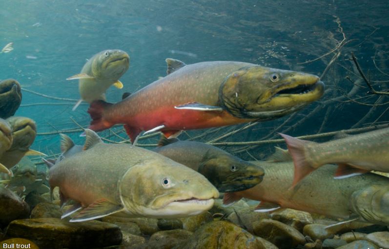
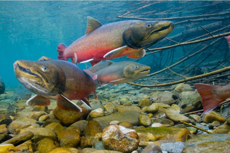
Fish: Wild fish such as Native Trout, Steelhead, and Salmon used to populate the rivers throughout the Pacific Northwest.

Bull Trout once ranged from northern California to the Bering Sea. They have travelled one of the longest migration routes of any trout in North America for thousands of years. Now Bull Trout are rare and in danger of extintion. NREPA will designate nearly 2000 miles of Wild and Scenic Rivers, helping the remaining populations of wild fish to recover from the brink of extinction.

Header image

For more Bull Trout Information see
NRCS Fact Sheet

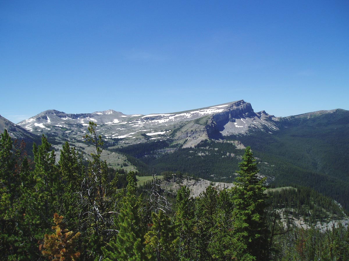
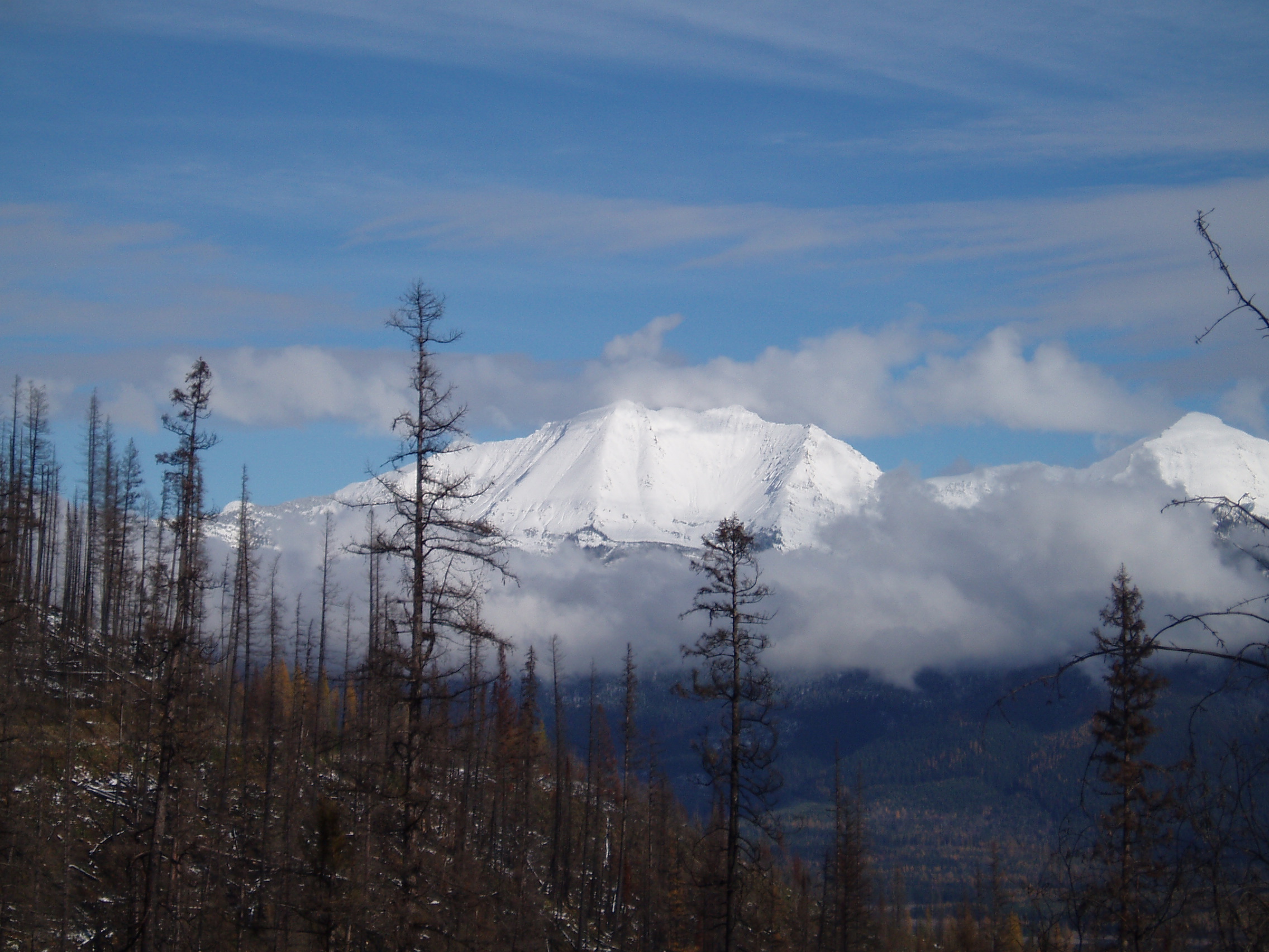
Wilderness: Federally designated Wilderness is the highest level of protection for natural wild areas under the laws of the United States.

Header image

According to the Wilderness Act passed one half century ago, the following apply to federally designated Wilderness areas.

"...lands designated for preservation and protection in their natural condition..." Section 2(a)

"...an area where the earth and its community of life are untrammeled by man..." Section 2(c)

"...an area of undeveloped Federal land retaining its primeval character and influence, without permanent improvement or human habitation..." Section 2(c)

"...generally appears to have been affected primarily by the forces of nature, with the imprint of man's work substantially unnoticeable..." Section 2(c)

Less than 3% of of the lower 48 states is Federally designated Wilderness.

It is of the highest importance that more remaining wild areas in the United States are designated Federal Wilderness.

NREPA will designate nearly 20 milion acres of wild roadless areas as Federal Wilderness, restoring large intact, contiguous, and connected ecosystems, which will ensure protection for their native species for future generations

Header image

For more Wilderness Information see
Wilderness.net


small

This is to acknowledge, with great appreciation, the ESRI Conservation Program.

Their support enabled the creation of these maps

  Thank you to Save America’s Forests former interns Brian Goldgeier and Ella Haines for their vital contributions to this mapping project.  


   Maps


NREPA
Northern Rockies
Ecosystem Protection Act


Maps

Save America's Forests created these maps in 2016. The maps were required to introduce NREPA in the US Senate. Save America's Forests worked in conjunction with and at the request of the Alliance for the Wild Rockies, a coalition of groups dedicated to protecting the wild character of public lands in the Rocky Mountain region.

Map: NREPA - Entire Extent

JPG
PDF

This complete NREPA map depicts the entire range of NREPA covering five states: Montana, Idaho, Wyoming, Oregon, Washington. Individual roadless areas are outlined but each one is not labeled.

This map shows the full extent of NREPA, including all the new "Wilderness" areas, corridors, and recovery areas

NREPA Section maps:

Following are the 10 maps (and two separate map keys) which are partial sections of NREPA. Together they label every roadless area. The roadless areas and their labels correspond precisely to the roadless areas referenced in the Senate NREPA bill S.3022 introduced in the 114th Congress on June 6, 2016.

These maps were required by Senator Whitehouse before he would introduce NREPA into the Senate. These are the official maps that correspond to S. 3022.

Map: Northern Continental Divide
S. 3022 Title I Section 102

JPG
PDF

Northern Continental Divide is located at Montana's northern border with Canada. .


Map: Greater Yellowstone
S. 3022 Title I Section 103

JPG
PDF

Greater Yellowstone is at the boundaries of Montana, Idaho, and Wyoming.


Map:NREPA -
Greater Salmon Selway

S. 3022 Title I Section 104

JPG
PDF

Greater Salmon Selway is the largest wilderness and roadless area in the lower 48 states on the boundary of Idaho and Montana.

JPG
PDF

MAP KEY for Greater Salmon Selway map.

Map:NREPA -
Greater Cabinet/Yaak/Selkirk

S. 3022 Title I Section 105

JPG
PDF

Greater Cabient Yaak Selkirk is located at northern Montana, Idaho and Washington on the boundary with Canada.


Map:NREPA -
Greater Hells Canyon

S. 3022 Title I Section 106

JPG
PDF

Greater Hells Canyon is located in eastern Oregon.

Map:NREPA -
Islands in the Sky
Map 1
S. 3022 Title I Section 107 Map 1

JPG
PDF

Islands in the Sky Map 1 is located in north-eastern Oregon and south-eastern Washington.

Map:NREPA -
Islands in the Sky
Map 2
S. 3022 Title I Section 107 Map 2

JPG
PDF

Islands in the Sky Map 2 is located in north-eastern Washington on the border with Canada.


Map:NREPA -
Islands in the Sky
Map 3
S. 3022 Title I Section 107 Map 3

JPG
PDF

Islands in the Sky Map 3 is located in northern Wyoming and southern Montana.


Map:NREPA -
Islands in the Sky
Map 4
S. 3022 Title I Section 107 Map 4

JPG
PDF

Islands in the Sky Map 4 is located in southern Idaho.


Map:NREPA -
Biological Corridors
S. 3022 Title I Section 108

JPG
PDF

These Biological Corridors link areas on the boundaries of Idaho and Montana

JPG
PDF

MAP KEY for Biological Corridors.


Save America's Forests
4 Library Court, SE• Washington, DC 20003
202-544-9219

Copyright Save America's Forests 2016